Surveying Equipment in UAE is essential for almost every construction, infrastructure and land project across the Emirates. From a villa plot in Dubai to a highway in Abu Dhabi and a new development in Sharjah, accurate measurements decide where foundations go, how levels are set and whether a building matches its approved drawings.
What Is Surveying Equipment?
Surveying equipment measures distances, angles, heights and positions on land. Surveyors use it to create site plans, mark boundaries, set out buildings and roads, check levels and record as-built details. Modern instruments combine optics, lasers, satellite positioning and software, so one device can capture thousands of points in a day.
Types of Surveying Equipment
1. Total Stations
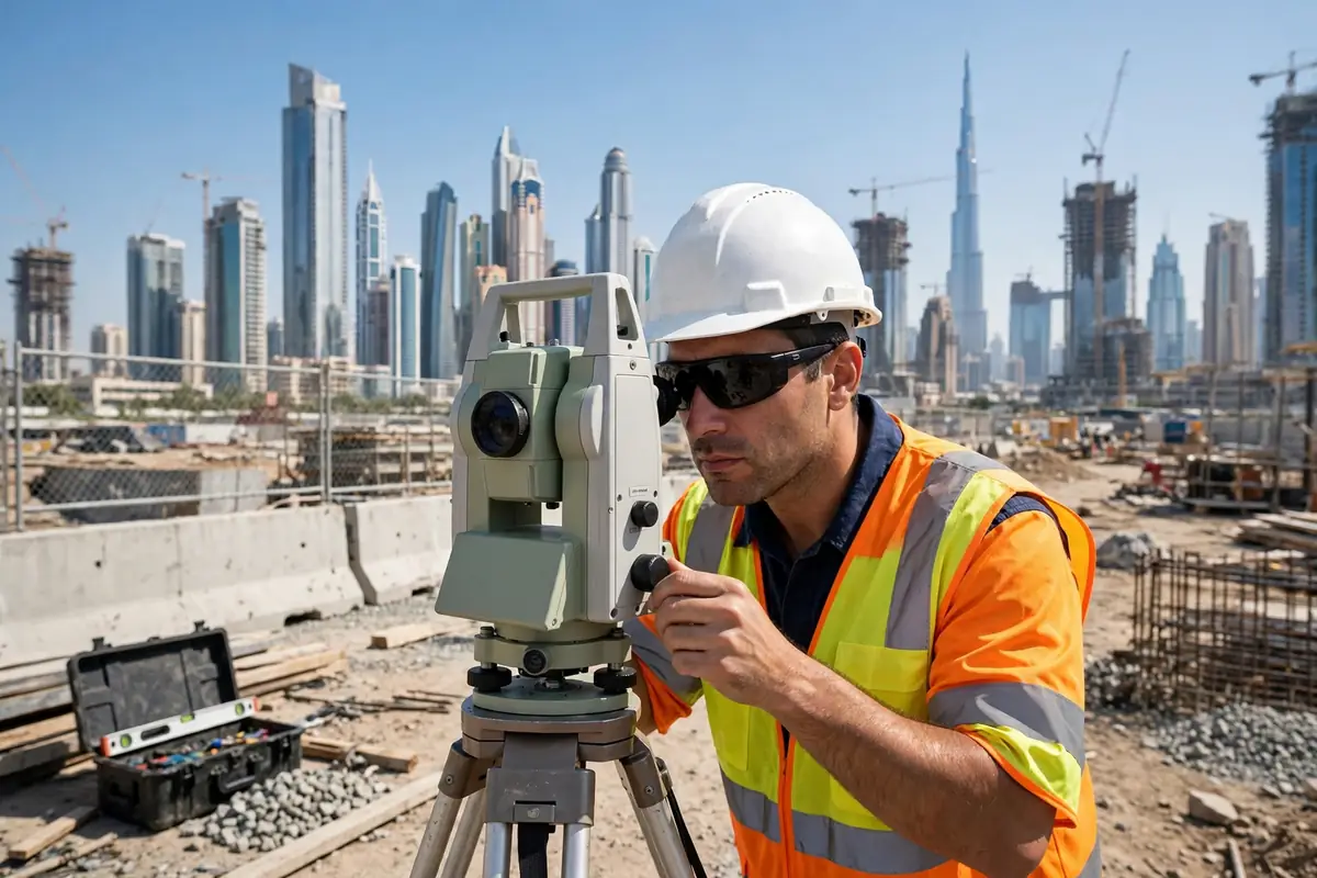
A total station measures angles and distances and calculates coordinates on the spot. Robotic total stations can be operated by one person because the instrument follows the prism automatically. They suit setting out buildings, roads and utilities where accuracy of a few millimetres matters.
2. GNSS / GPS Receivers
GNSS receivers use satellite signals to find precise positions. With RTK correction, a survey-grade receiver can reach centimetre-level accuracy in real time. In the UAE, GNSS is widely used for large open sites and boundary surveys, but it is less reliable between very tall buildings.
3. Laser Levels
Rotary and line laser levels project a level beam across a site. Contractors use them for levelling floors, setting formwork, installing ceilings, grading ground and laying drainage. They are affordable, easy to learn and useful for small to medium jobs.
4. Theodolites
A theodolite measures horizontal and vertical angles. Digital theodolites are still used for angle work and basic setting out, although many teams now prefer total stations because they also measure distance. They remain a low-cost option for training and simple checks.
5. Laser Scanners
Terrestrial laser scanners capture millions of 3D points to build a detailed point cloud of a building, facade or bridge. They are used for as-built documentation, clash checks and BIM models, and are much faster than measuring point by point when a complete 3D record is needed.
6. Drones for Surveying
Survey drones with cameras or LiDAR sensors capture aerial photos and elevation data over large areas quickly. They are used for topographical surveys, progress monitoring and site mapping. In the UAE, drone flights need the right approvals, so always check permissions before flying.
Key Specifications to Compare
- Accuracy: Total stations typically offer distance accuracy of about 1 to 2 mm plus 2 ppm. GNSS RTK accuracy is usually around 1 to 2 cm horizontally.
- Range: Check reflectorless range for total stations and working range for laser levels. Long-range instruments help on large sites and open plots.
- Battery life: Look for a full working day on one charge, plus a spare battery. Heat shortens battery life, so carry a backup in summer.
- Ruggedness: Look for IP54 or better for dust and water, a wide operating temperature range and a strong case.
- Software and data: Check that field and office software work together and export DWG, DXF, CSV and LandXML files.
- Weight and setup time: Lighter instruments and quick tripod setup save time when moving between stations.
Surveying Equipment Prices in UAE (AED)
Prices vary by brand, accuracy, accessories and warranty. Typical ranges for new equipment in the UAE are:
- Laser levels: about AED 800 to AED 6,000.
- Digital theodolites: about AED 3,000 to AED 10,000.
- GNSS / GPS receivers (survey-grade RTK): about AED 25,000 to AED 80,000 per rover set.
- Total stations: about AED 30,000 to AED 120,000, from manual models to robotic stations.
- Terrestrial laser scanners: about AED 150,000 to AED 450,000 or more.
- Survey drones: about AED 15,000 to AED 90,000 for camera drones, and more for LiDAR.
Accessories can add AED 2,000 to AED 10,000. Always ask for a quote that includes VAT, delivery, warranty and training, and check whether calibration is included.
Where to Buy or Rent Surveying Equipment in UAE
Buy from specialist survey suppliers and authorised distributors in Dubai, Abu Dhabi and Sharjah. Industrial areas such as Al Quoz and Ras Al Khor in Dubai, Musaffah in Abu Dhabi and the industrial zones in Sharjah have many suppliers. For high-value kit, buy from an authorised dealer with local warranty and service.
Renting suits short projects or testing a model before buying.
Calibration and Servicing
Instruments drift out of calibration with use, heat, drops and transport. Have total stations, levels and GNSS receivers checked at least once a year, or sooner after a knock or fall. Good suppliers also offer heavy equipment repair and maintenance support, and can advise on spare parts such as batteries, cables and hydraulic seals for powered site equipment.
Use Cases in the UAE
Construction: Setting out foundations, columns, slabs and facades, and checking levels throughout the build. Surveyors work closely with construction companies in Business Bay and across Dubai, Abu Dhabi and Sharjah.
Road works: Road alignment, cross-sections, kerb levels and drainage gradients all depend on accurate surveys. Teams also consider road safety products when setting out work zones, signs and barriers on live roads.
Land surveying: Boundary surveys, subdivision, topographical surveys and as-built surveys support planning and approvals. If you are buying property in Dubai, a boundary and area check helps confirm what you are purchasing.
Real estate: Accurate area and boundary data support valuations and development decisions. This matters most in high-value areas, including luxury real estate in Dubai.
Interior and fit-out: Laser levels, scanners and total stations help with ceiling levels and partition setting out. Fit-out teams often work with interior design consultants to turn accurate measurements into finished spaces.
How to Choose the Right Surveying Equipment
Start with the work you do most. If you set out buildings every day, a total station is usually the first purchase. If you survey large open sites, GNSS will save more time. If you mainly do levelling and fit-out, a rotary laser may be enough. Many UAE teams own a mix: a total station, a GNSS set and a laser level.
Next, check local support: an authorised dealer in the UAE, spare parts in stock, a service centre and training. Ask for a demo on your own site and confirm the software exports the files your office needs. Finally, think about total cost, including accessories, calibration, training and warranty.
Final Thoughts
Surveying Equipment in UAE ranges from simple laser levels to robotic total stations, GNSS receivers, scanners and drones. Compare specifications, get quotes from authorised UAE suppliers, and choose equipment your team can use confidently.